.png)
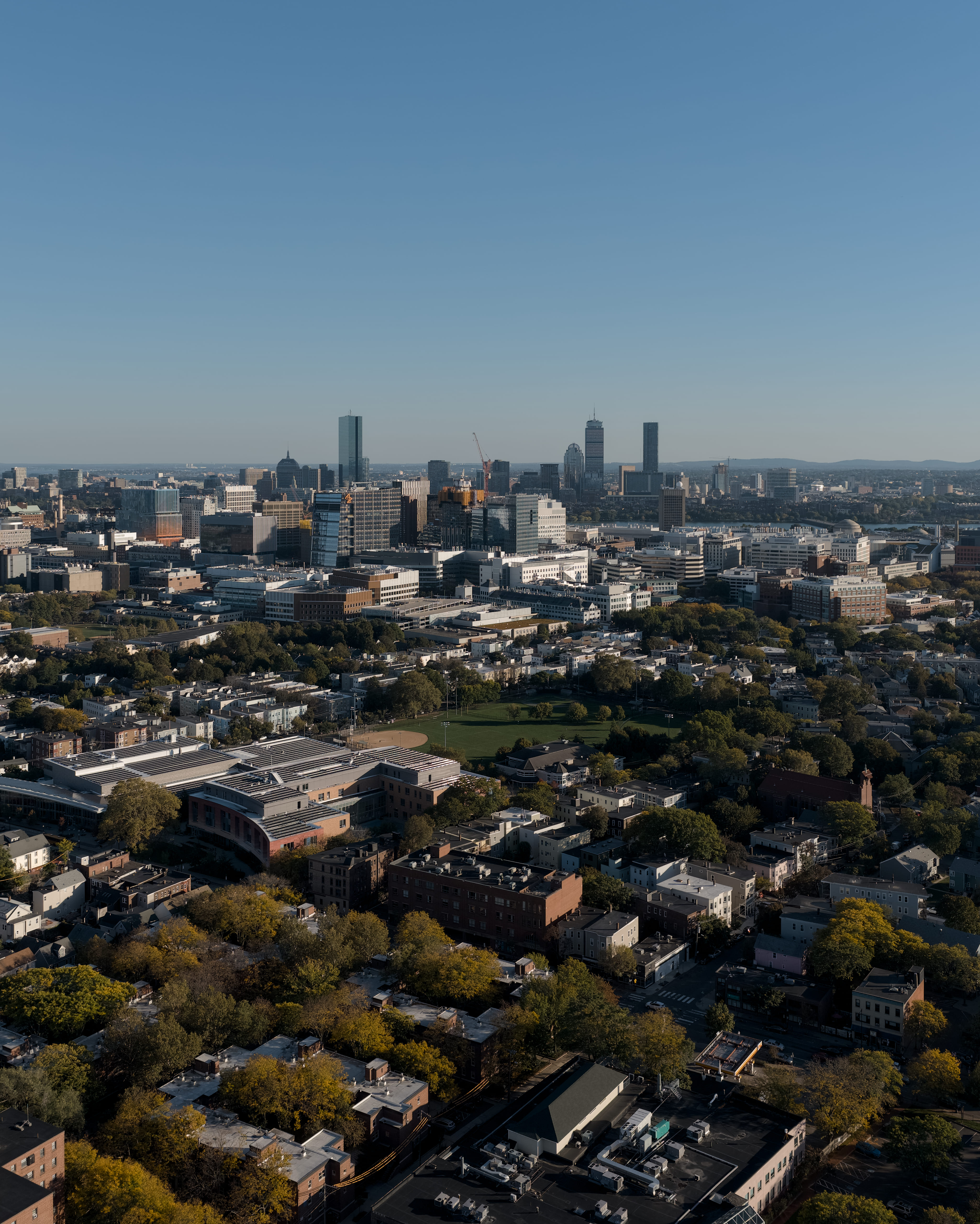
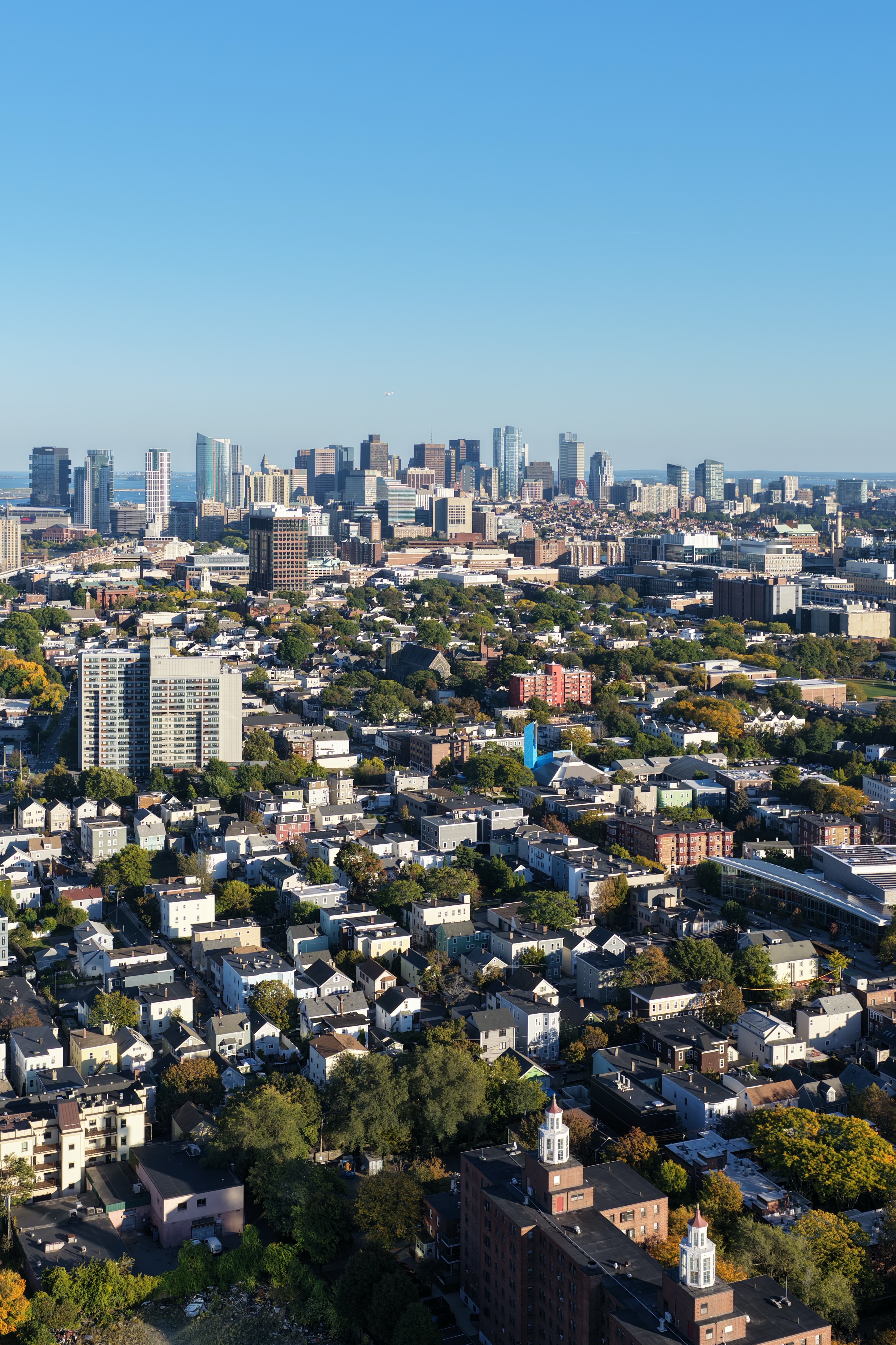
FlyBoston is Greater Boston's best professional drone company. We offer a wide range of services, from real estate photography and videography, to construction monitoring, live event coverage, 2D and 3D mapping, inspections, and much more. We service all throughout the greater Boston area and New England, and work with our clients to provide packages that fit within their budget and needs.
Our enterprise drones can shoot up to 6k at 60fps, while our smaller drones can safely fly over participants at live events. All our pilots are FAA part 107 certified, and we follow all relevant laws pertaining to flying drones commercially in Boston. See below for some of the services we provide. You can contact us directly at contact@flyboston.org with questions about your project, or to receive a free quote today!
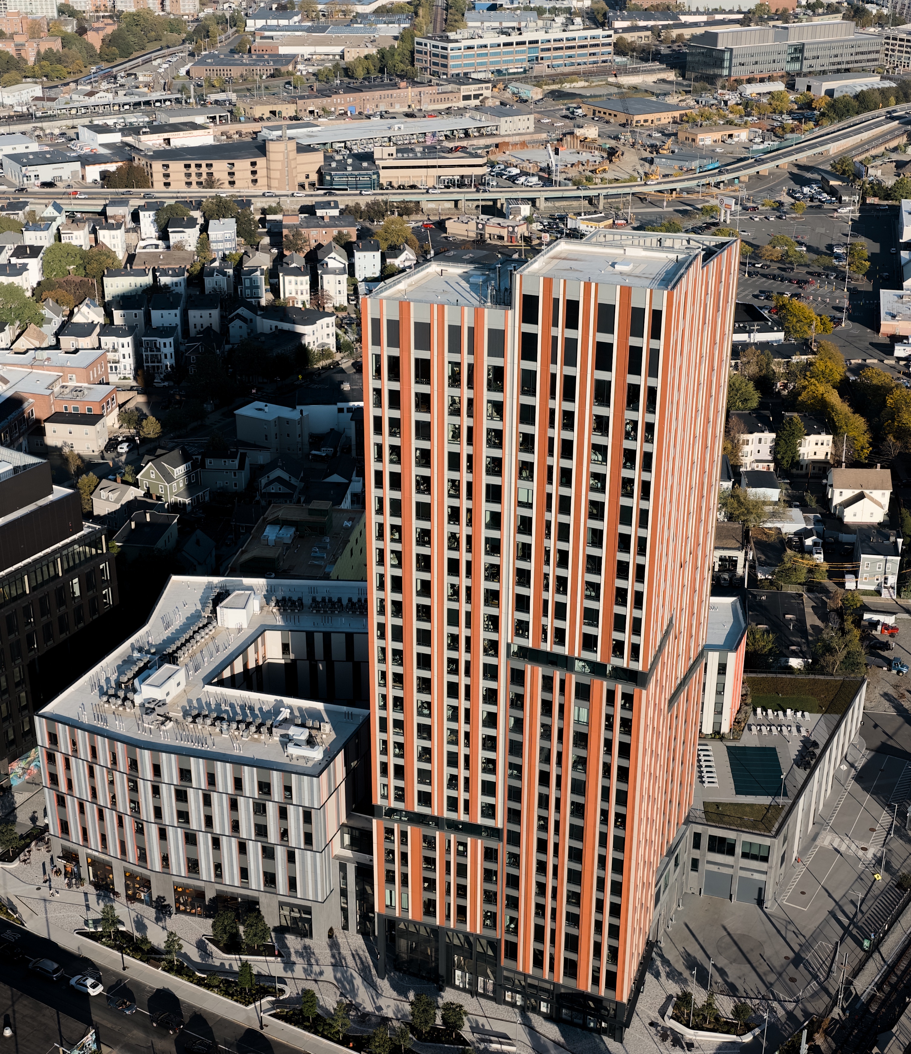
We take stunning professional aerial and ground photos and videos of all types of real estate. Showcasing the best aspects of your property, high quality photography and videography help your property or business stand out from the competition. Our packages include the option for both air and ground photos and videos, all professionally edited and color graded. Pricing depends on the size of the property and the amount of photos and videos desired. Contact us for a quote.
Property listing
Business showcasing
Promotional Videos
Grand openings
Whether it's a concert, wedding, family reunion, corporate event, light show, or any other live event, FlyBoston can showcase it in a way traditional cameras can’t. We offer the option for a highlight reel showing the best parts, edited pictures and videos, raw footage, or all of the above when shooting a live show. Our trained pilots will capture the event without getting in the way, ensuring that guests enjoy the event and the videos afterwards.
Concerts and festivals
Weddings
Corporate Events
Shows
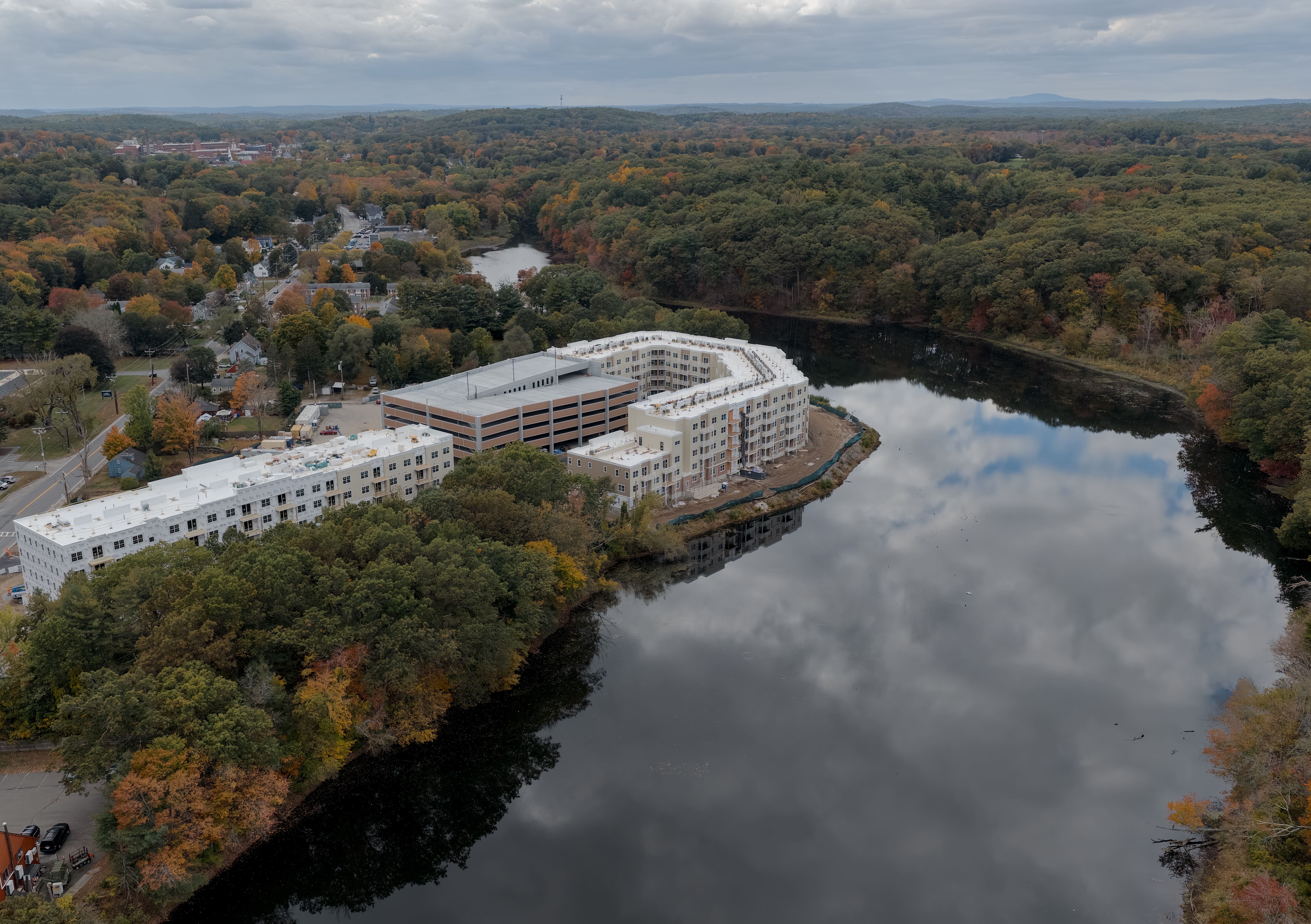
Drones provide a great way to track progress through routine aerial flythroughs. Whether you need weekly progress pictures, before and after videos, material tracking, or anything else a birds eye view can assist with, FlyBoston can provide the service you need. Contact us to see how we can assist with your specific needs.
Progress pictures
Before and after shots
Finished project showcase
Materials tracking

Need a high quality aerial 2D or 3D map of your property? We have you covered. FlyBoston has the ability to create professional orthomosaic maps built around your needs, showcasing your location in great detail and precision.
Agriculture
Urban Planning
Construction
Environmental Conservation
.png)
Drones can help inspect normally hard to view places, such as rooftops, solar panels, bridges, or other large structures. With telephoto equipped drones we can work with existing inspection companies, or provide the final deliverable directly to you to meet your needs.
Solar farms
Bridges
Rooftops
Large homes + commercial buildings
.jpg)
.jpg)
If you have questions about a specific project, or are interested in working with us fill out the form below. We respond to all inquires within 24 hours. You can also email us directly at contact@flyboston.org.